3D Laser Scanning

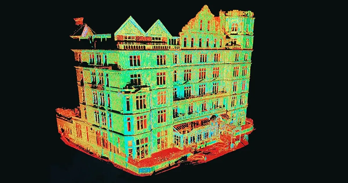
Laser Scanning is the process of collecting 3D points which, through their density, represent a “point cloud” which can be manipulated and enhanced to produce 3D models or 2D CAD drawings.

We provide this highly specific, and niche service to deliver to our clients a full 3D real-time data capture solution suitable for highly-detailed work, or within areas which require rapid data collection such as hazardous environments.

All 3D lasers scanning aren’t built the same, however do operate using similar technology, but all scanning services and point clouds are definitely not equal – what makes the difference is the knowledge & experience of a Geomatic Surveyor!

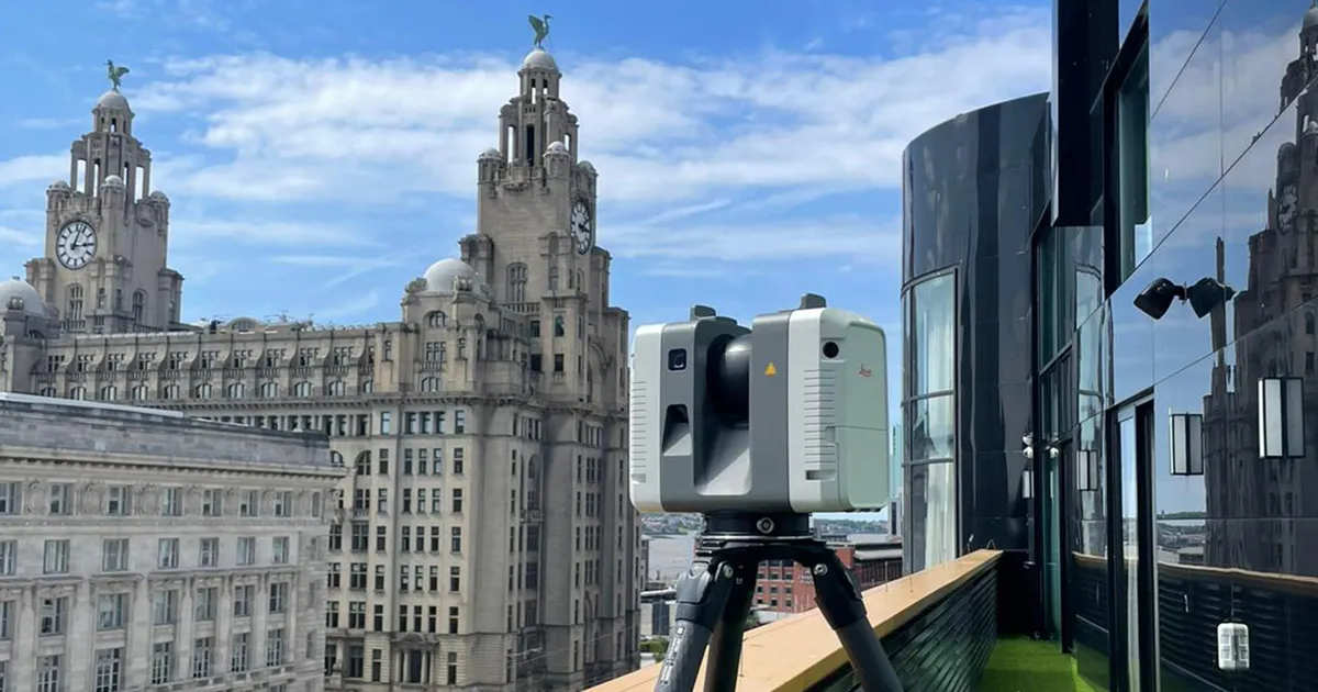
The inclusion of market-leading scanning hardware, robust survey control, manual “technician-led” data registration and rigorous QA processes, enables us to provide a highly accurate and reliable survey-grade 3D laser scanning service.

Point clouds are very rich datasets containing millions (if not billions) of spatially-related, 3D coordinated points  which can be used as a basis to create 2D CAD drawings and construct 3D models for a wide variety of purposes.

We have the capability to apply realistic colour to point clouds from our panoramic imaging cameras, further enriching the datasets and producing a highly realistic visualisation of a site or property.

Our 3D laser scanners are ideally suited to the inspection and measurement of complex geometries and contoured surfaces where undertaking this task using more traditional surveying methods simply isn’t effective.

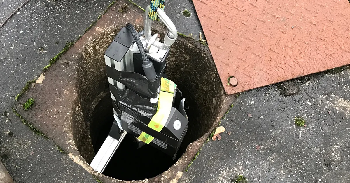
We have several different scanners and specialised scanning rigs enabling us to deal with a wide spectrum of surveying challenges including high level positions, confined spaces, hazardous environments and sub-surface voids / tunnels.

Accurate 3D data is being utilised by a large number of sectors and industries including the entertainment & video gaming industry, CGI & special effects, crime scene investigation and industrial quality & design.

Whilst we use 3D laser scanning to solve many measurement problems, our laser scanning and point cloud services are usually required by architects, engineers and construction professionals to record the spatial layout of a building or site.

How can we assist?

Contact us to discuss your requirements, or request a quote, and see how our experience and knowledge can help you on your next project.

Benefits of 3D Laser Scanning

Deliverables

Request a Quote

Related Projects