Scan to BIM Surveys

Scan to BIM is a workflow which should start with survey-grade, as-built 3D laser scan survey data (collected using a 3D terrestrial or mobile high definition laser scanner) ensuring all details of a building structure (internal or external) are scanned and registered.

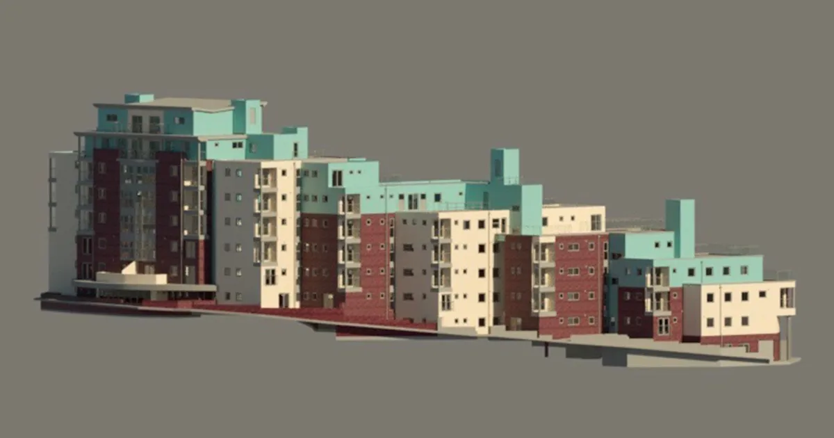
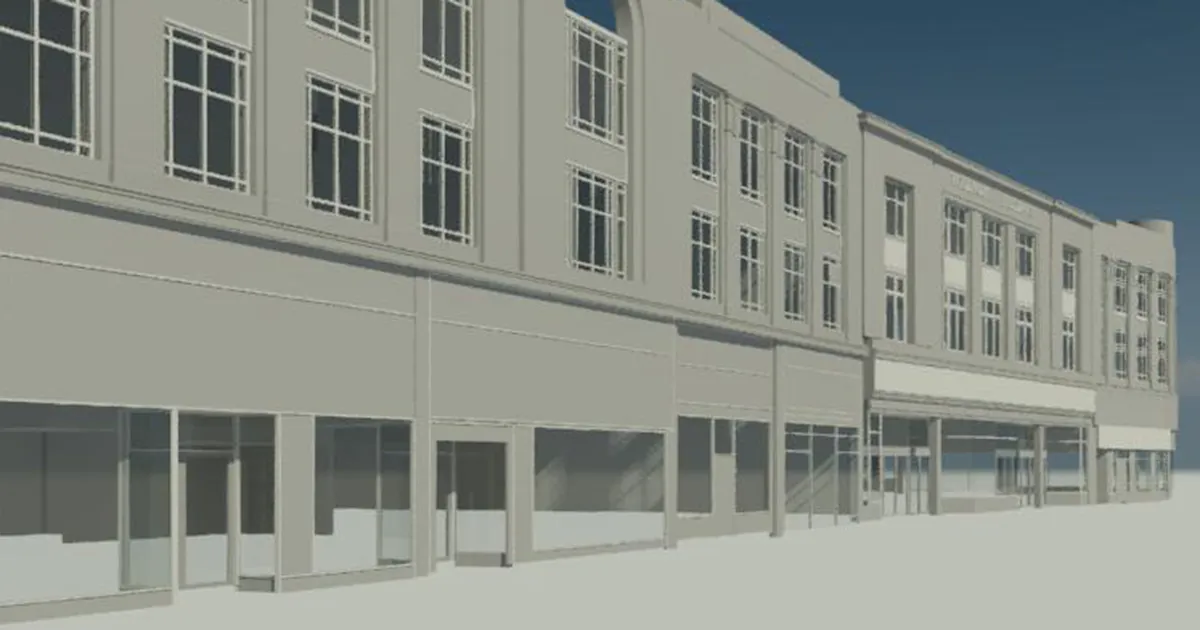
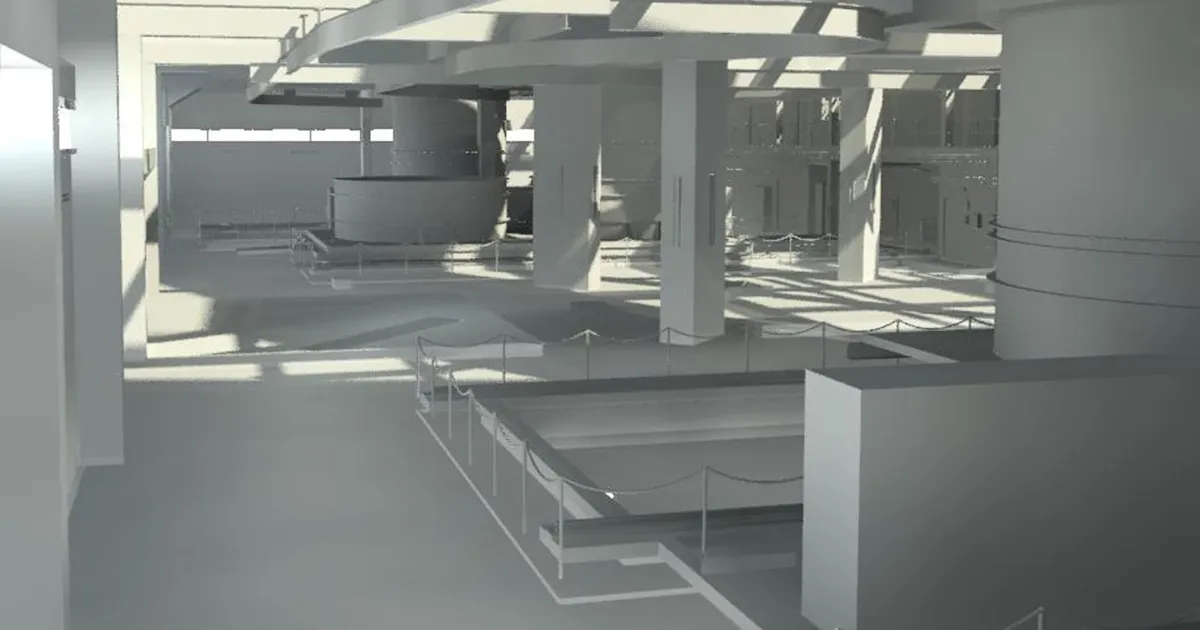
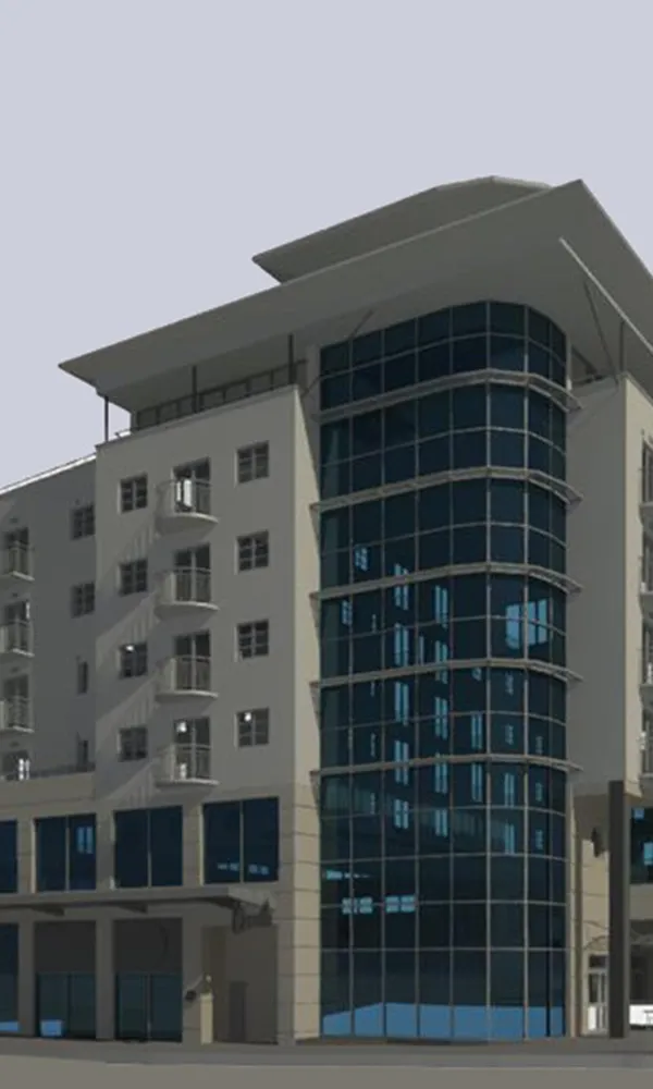
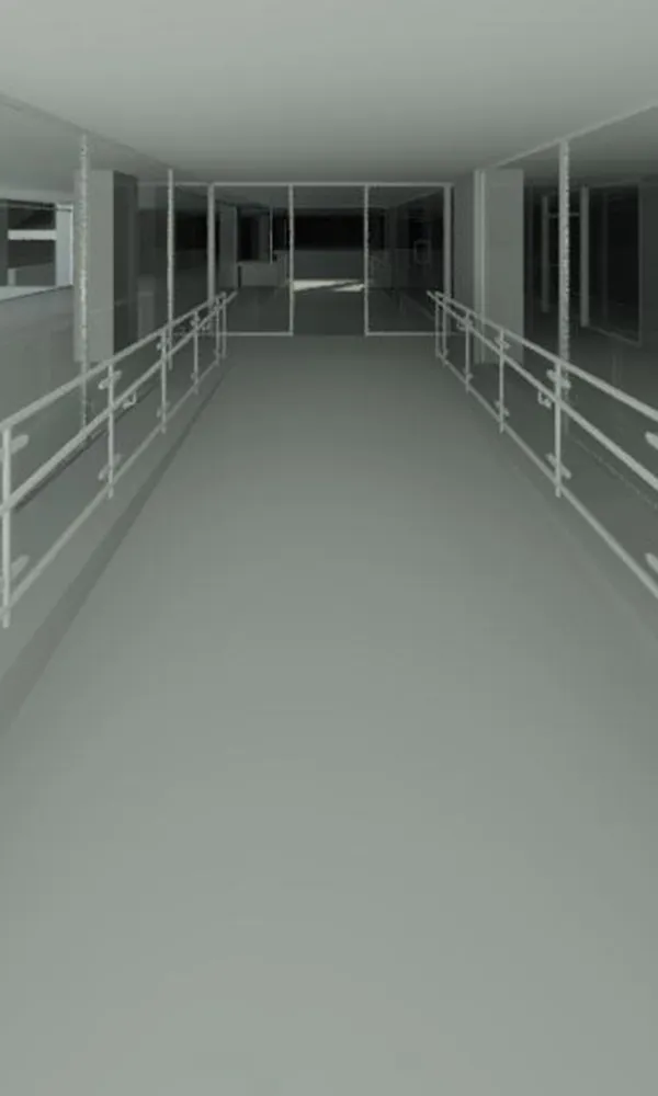
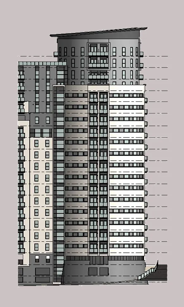
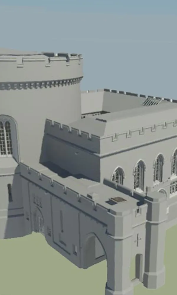
From the resultant “point cloud” relevant data can then be derived using 2D CAD drafting and 3D modelling techniques to provide, in most cases, a 3D Building Information Model (BIM). 

A Building Information Model can hold all of the spatial (and non-spatial) information that is required to design, construct and maintain a building or infrastructure asset.  Our models are produced in-house by our team led by our BIM-certified manager.

The information within an existing BIM model can include a variety of spatial building aspects from fundamental geometry of an asset to material finishes that have been used. 

The level of detail in a BIM can (and should!) grow as a project progresses to reflect the development stages of a jobs it is being constructed, enabling potential issues to be identified and rectified in the early stages of the project.

The models we build are compliant with the latest best practice guidance and standards and are reflective of the level of detail (LOD) required.  In some cases models can contain different LODs in certain areas to provide a timely, cost effective solution.

Along with our extensive experience in 3D laser scanning, our in-house modelling team have delivered a variety of 3D geo-spatial BIM models for architectural and engineering clients.

Every model is different and our belief is that client engagement is a key factor to successful delivery.  This is why the majority of our modelling is for repeat clients.

How can we assist?

Contact us to discuss your requirements, or request a quote, and see how our experience and knowledge can help you on your next project.

Benefits of Scan to BIM Surveys

Deliverables

Request a Quote

Related Projects