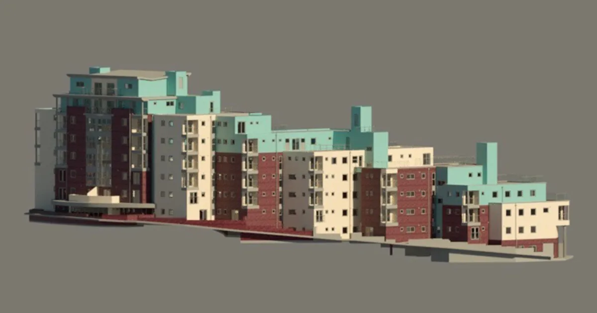
Scan to BIM Surveys
Scan to BIM is a workflow which should start with survey-grade, as-built 3D laser scan survey data (collected using a 3D terrestrial or mobile high definition laser scanner) ensuring all…

Scan to BIM is a workflow which should start with survey-grade, as-built 3D laser scan survey data (collected using a 3D terrestrial or mobile high definition laser scanner) ensuring all…
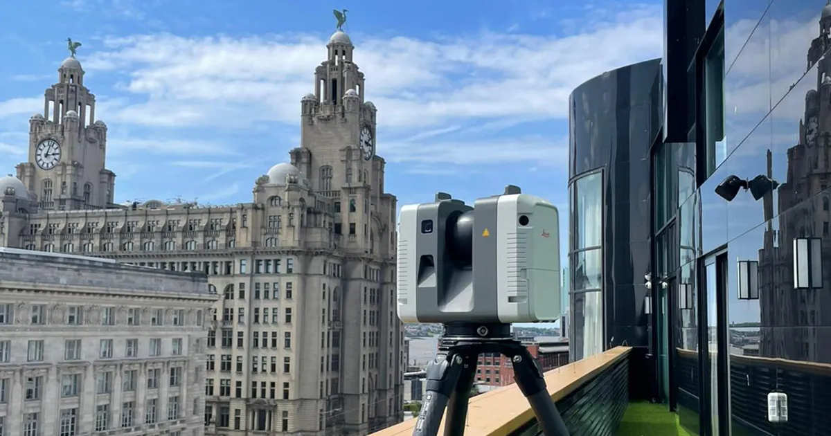
Laser Scanning is the process of collecting 3D points which, through their density, represent a “point cloud” which can be manipulated and enhanced to produce 3D models or 2D CAD…

We adopt a different approach to Right to Light Surveys as we not only offer the usual information regarding surrounding properties such as eave, ridge and window levels, but can…